KIPDA has a dedicated staff of GIS professionals working to support the agencies spatial data needs and planning efforts with mapping, spatial analysis, inventories, and field data collection. The GIS staff also collects and cleans GPS data for various projects. The staff provides GIS technical assistance to the planning staff of all KIPDA divisions and the counties that make up the KIPDA region. A wide variety of geospatial data layers have been collected using GIS/GPS software and can be made available upon request in a variety of formats.
Contact the Division of Transportation at kipda.trans@kipda.org for information and data requests.
GIS – Geographic Information System – is a system designed to capture, store, manipulate, analyze, manage and present geographic data.
GPS – Global Positioning System – is a satellite navigation system used to determine the ground position of an object. KIPDA uses GPS equipment to collect data features in the field and convert the data into GIS layers.
Products and Services
KIPDA’s GIS department provides a wide range of products and services including:
- Regional Legislative Boundaries
- KIPDA Urban Area Boundaries (2020) StoryMap
- Urbanized Area Boundary Locator
- Planning and Zoning Mapping
- Regional Land Use Map
- Fire Station Service Districts
- E911 Data assistance and Address Verification
- Utility Mapping (Water/Wastewater)
- City Boundary Updates
- Comprehensive Plan Mapping
- Project location maps for Grants
- Natural Hazards Mitigation
- Demographic Mapping (Census Data)
- GPS Centerline Project
- Bicycle/Pedestrian Facility Inventory
- Transportation Asset Data Collection
- Utility Asset Inventory
- Online Mapping Services
- Parks and Trails Inventory
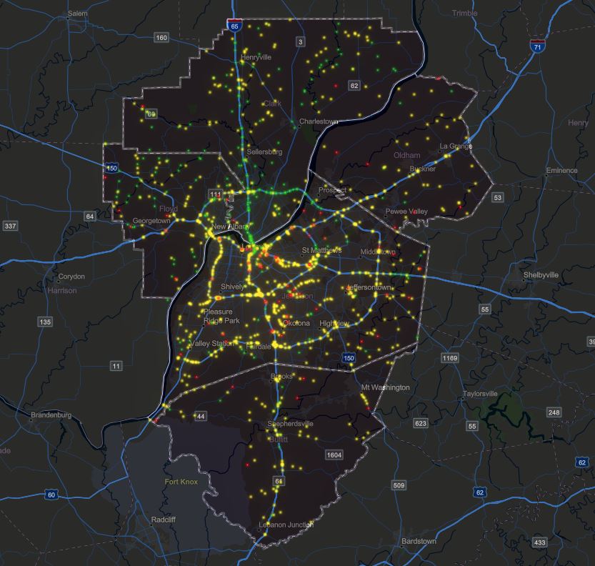
MPO Project mapping – Provide data analysis ,create, modify and maintain all mapping for MPO transportation projects of the Metropolitan Transportation Plan and Transportation Improvement Plan.
Statewide Road Centerlines –collect precision GPS road centerlines for the Kentucky Transportation Cabinet and we provide periodic updates to keep the database current.
Statewide Water and Sewer Data –development of the statewide geo-database of water and sewer lines for the Kentucky Infrastructure Authority. This database is used by the Authority and the Kentucky legislature to prioritize new construction. The geo-database has an inventory of existing infrastructure as well as proposed water and wastewater infrastructure for the entire state of Kentucky. These databases are continually being updated.
Statewide Address Ranges –counties within its district in providing accurate address ranges on road data. This data provides the capabilities for 911 systems to accurately identify locations for quicker response times.
KIPDA works daily in assisting its local governments. Below are some recent projects:
- E-911 data management
- Water/Sewer GPS collection
- Create and maintain online mapping applications
- Hard copy map requests
- Parks and Recreation features
- Census Demographic Analysis